


ASHLAND CITY 4-D Voting District, Ashland County, Ohio
About
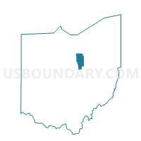
Outline

Summary
| Unique Area Identifier | 642590 |
| Name | ASHLAND CITY 4-D Voting District |
| County | Ashland County |
| State | Ohio |
| Area (square miles) | 0.59 |
| Land Area (square miles) | 0.57 |
| Water Area (square miles) | 0.03 |
| % of Land Area | 95.31 |
| % of Water Area | 4.69 |
| Latitude of the Internal Point | 40.88568780 |
| Longtitude of the Internal Point | -82.30907100 |
Maps


Graphs
Select a template below for downloading or customizing gragh for ASHLAND CITY 4-D Voting District, Ashland County, Ohio


Neighbors
Neighoring Voting District (by Name) Neighboring Voting District on the Map
- ASHLAND CITY 4-A Voting District, Ashland County, OH
- ASHLAND CITY 4-B Voting District, Ashland County, OH
- ASHLAND CITY 4-E Voting District, Ashland County, OH
- MONTGOMERY TWP #2 Voting District, Ashland County, OH